Eastern Sierra Reflections
The Sierra Nevada in California hold an allure that I've been dreaming about in recent years. With its dramatic granite peaks, spectacular basins dotted with lakes, and extensive wilderness trails, the Sierra are a backpacker's heaven. And although it is a well-traveled and well-explored mountain range, for me the Sierra are full of new and exciting potential adventures.
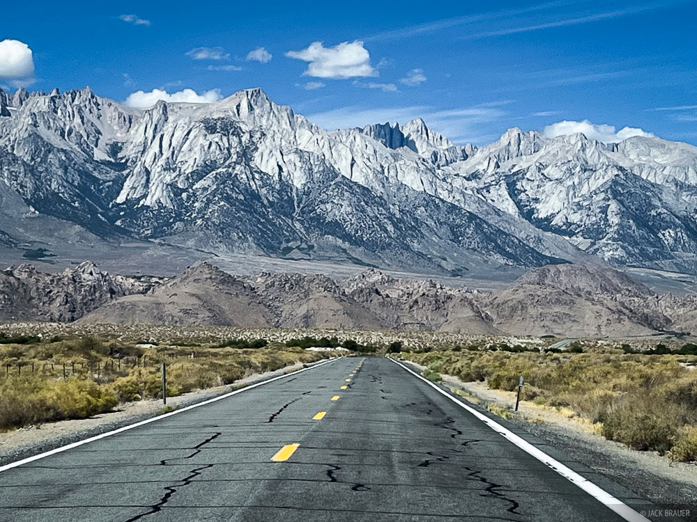
Ever since we did three fantastic backpack trips in the Sierra in 2023, I've been yearning to get back there, but all too often there have been wildfires and smoke that spoil our plans. But this September there were no fires and the air was clear, so I made the big drive west for a 7-day, ~60 mile solo trek through the Eastern Sierra.
I started at Cottonwood Lakes in the John Muir Wilderness, crossed over the divide into Sequoia National Park and hiked north along the range into Kings Canyon National Park until finally crossing back over Kearsarge Pass to the Onion Valley trailhead, where I had arranged for a shuttle driver from Lone Pine to bring me back to where I started. I didn't just stick to the popular John Muir Trail, though – my often off-trail route included three detours into some spectacular secluded basins.
Judging by the title of my post, you might expect me to write about some deep introspection gleaned from my solo journey. But mainly I just shot a bunch of lake reflection photos during this trip. Perhaps I went overboard with those, but I just can't resist.
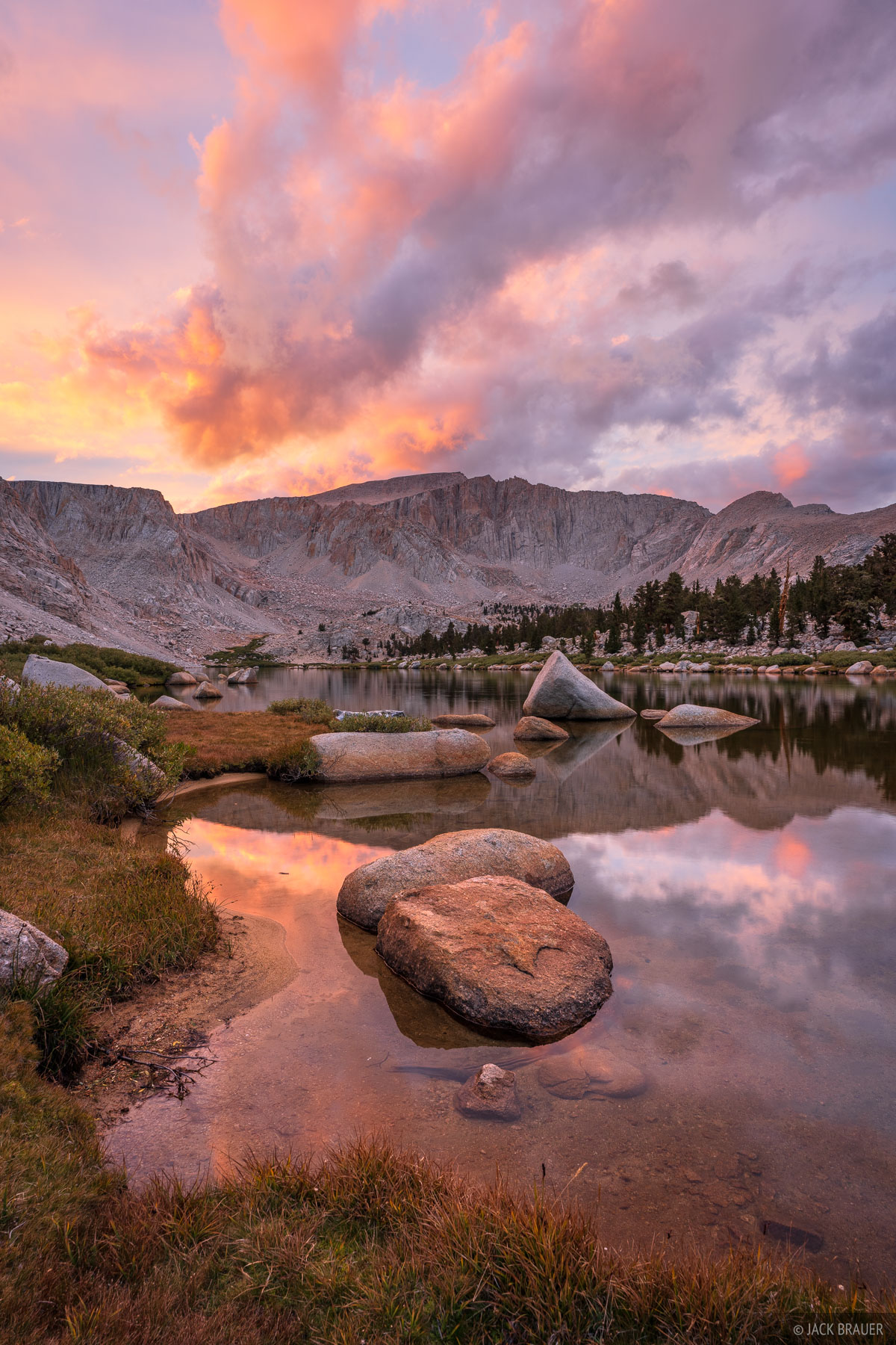
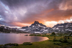
A brilliant sunset over Cottonwood Lakes in the Eastern Sierra. The summit of Mount Langley (14,032 ft) is visible at top center.
The Cottonwood Lakes sit in a broad, mellow, beautiful basin near the southern end of the rugged Eastern Sierra above the Owens Valley and the small town of Lone Pine. After a long drive that day, I appreciated the relatively easy hike to the lakes where I set up camp for the first night, relaxed next to the lake, and was treated to a colorful sunset.
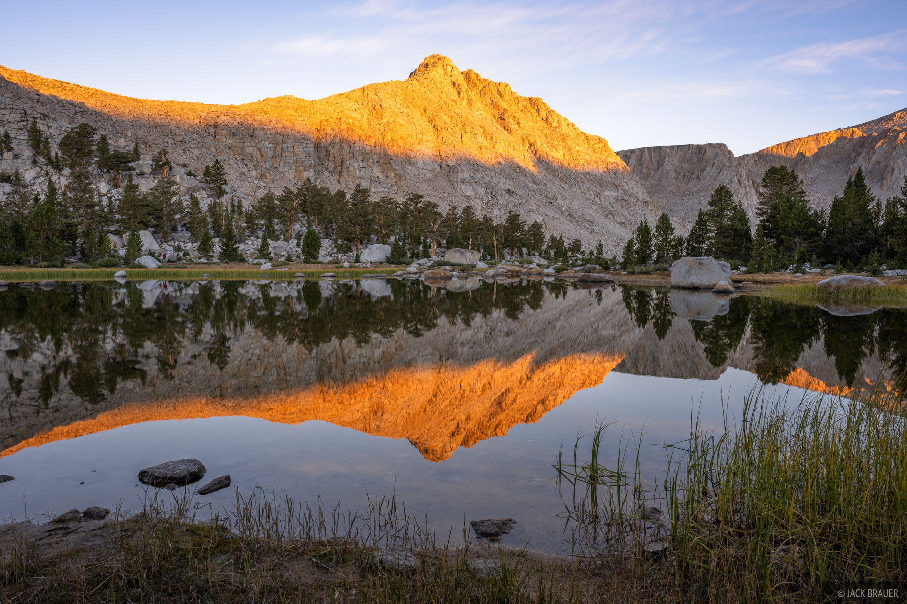
Army Pass Point reflects in one of the Cottonwood Lakes at sunrise.
On Day 2 I hiked over Old Army Pass into Sequoia National Park then around into the upper Rock Creek drainage towards Miter Basin. As I entered the basin above Soldier Lake I was stunned by the incredible and expansive granite landscape in front of me! I was feeling the Sierra vibes in full effect.
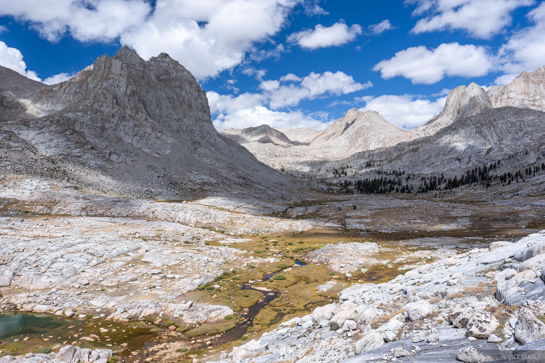
The granite wonderland of upper Rock Creek and Miter Basin.
The extensive granite of the Sierra Nevada was formed roughly 100 million years ago when the Farallon oceanic plate subducted beneath the North American continental plate, generating vast bodies of magma that rose and cooled slowly deep underground, crystallizing into enormous granite "plutons".
Beginning roughly 10 million years ago tectonic forces uplifted the Sierra block, which tilted westward and rose sharply along the Sierra Nevada frontal fault system, creating the abrupt eastern face rising above the Owens Valley, while the western slope remained a gentler, longer slope.
During Ice Ages of the last 2 million years and especially the last 20,000 years, glaciers carved out the cirques and U-shaped valleys, exposing the uppermost granite plutons that we see as the peaks today.
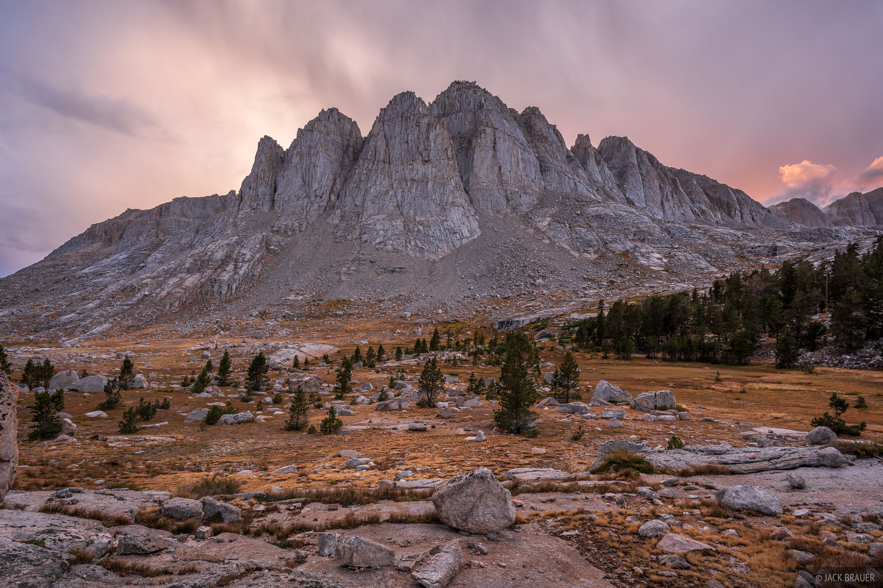
Stormy sunset clouds above the upper Rock Creek basin in September.
As much as I wanted to head directly up into the upper Miter Basin, the forecast was calling for afternoon thunderstorms, so I set up camp on the edge of a meadow below the last patch of forest. Camping below a slope of taller trees would provide at least a bit of lightning coverage. Sure enough in the late afternoon the clouds started booming and I was glad I wasn't hanging around in the exposed upper basin.
Aside from a bit of tent time waiting out rain, I was able to spend most of the afternoon/evening sitting on granite slabs soaking in the views of the big peaks towering above. One big advantage of backpacking in the Sierra in September is the complete absence of mosquitos, allowing me to bask in the paradisiacal scenery without their pesky aggravation.
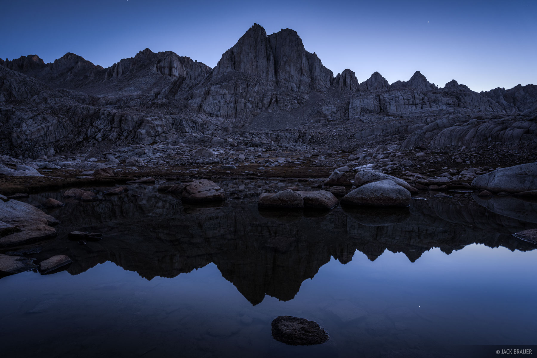
Dawn light over The Miter.
For Day 3, I woke up early before sunrise, packed my tent, and headed up into Miter Basin in the dark, not only to catch the sunrise up there but also just to get a head start on a long day of off-trail hiking.
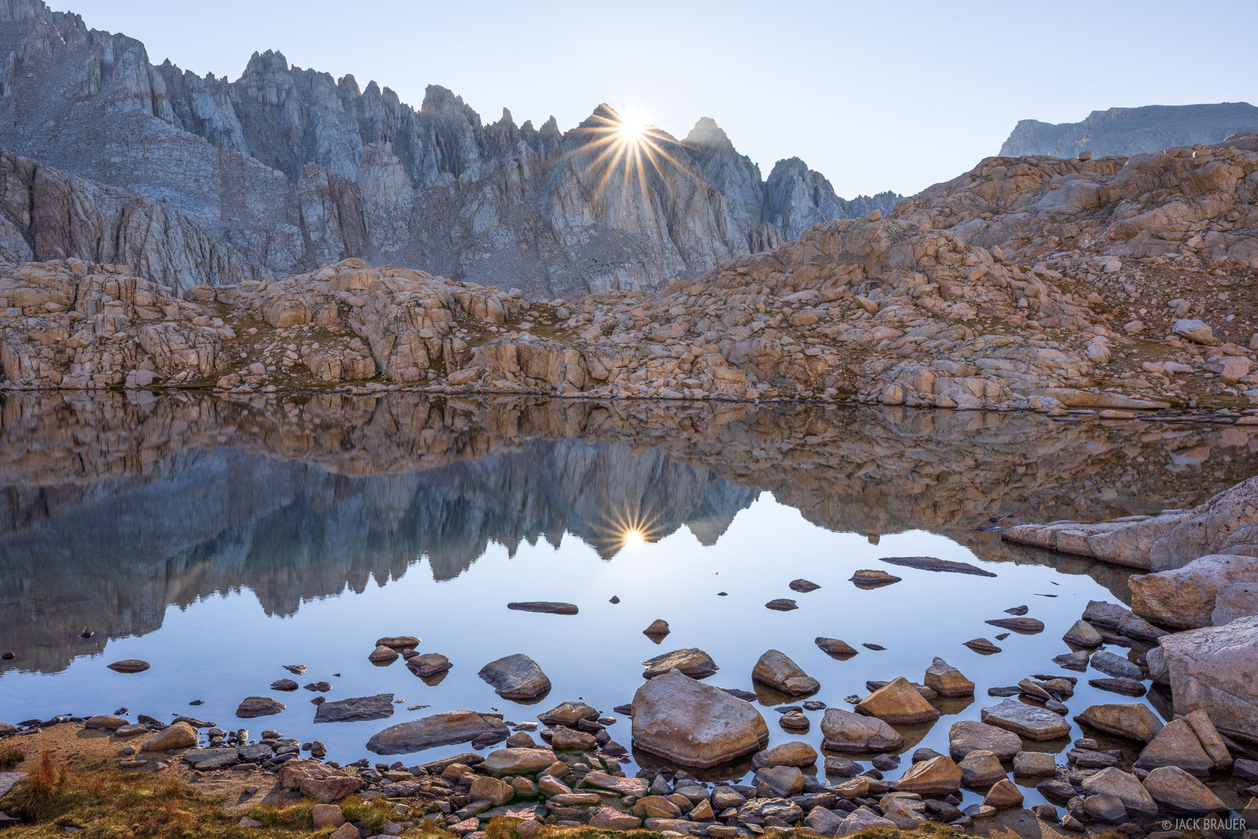
The morning sun pokes over a jagged ridgeline in Miter Basin.
Miter Basin is spectacular. Five lakes (and many smaller ponds) ringed by jagged granite spires. I greeted the rising sun at an upper lake with my camera, coffee, and breakfast. What a place. While I could linger for days here, eventually I had to keep hiking up towards Crabtree Pass.
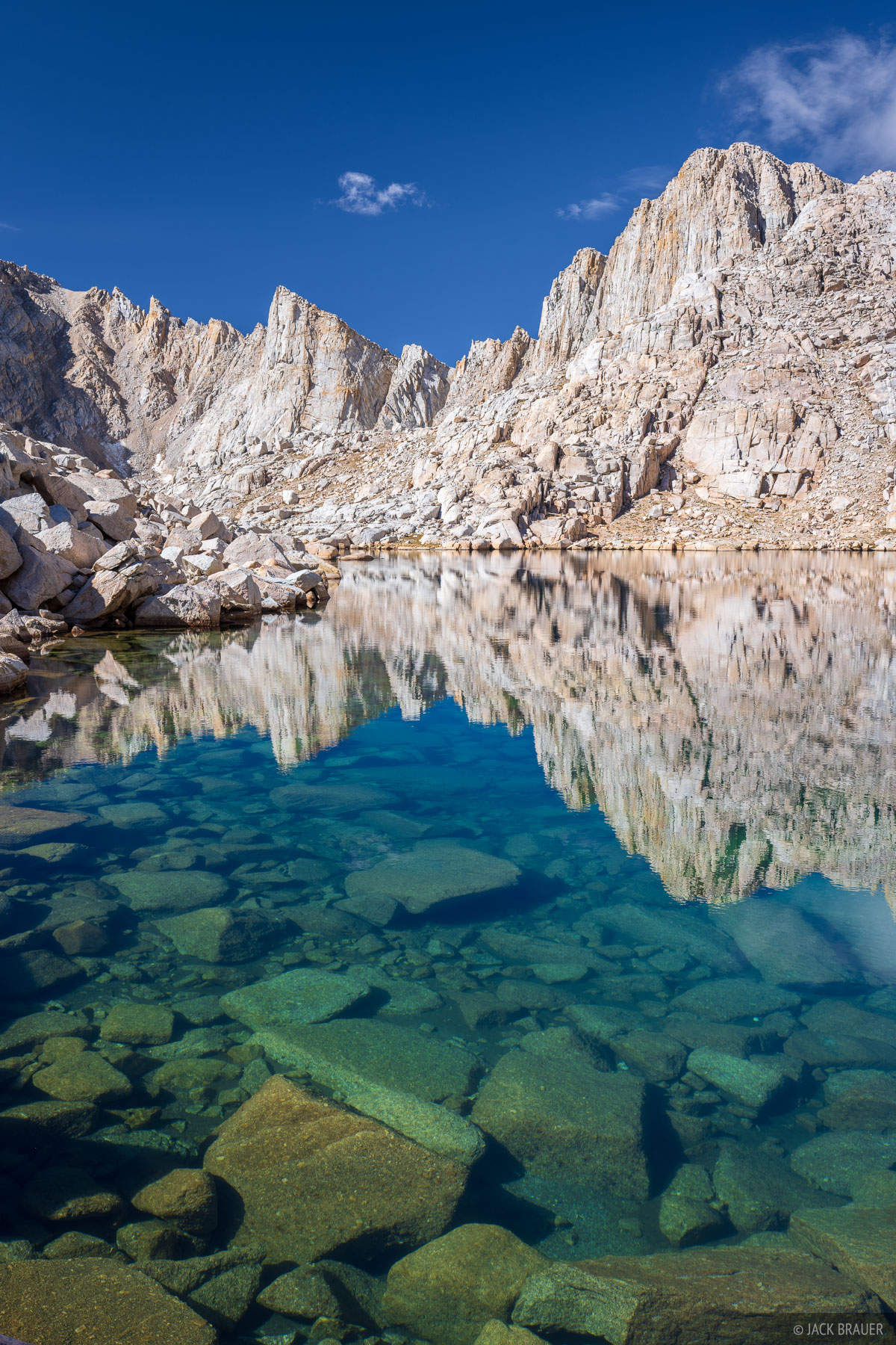
Deep emerald colors over a high alpine lake in Miter Basin.
The unmarked route I chose up through Miter Basin to Crabtree Pass was quite convoluted and possibly not the best route selection, but I thoroughly enjoyed it. Although off-trail hiking and routefinding is slower, it's also more engaging and adventurous than grinding out trail miles, in my opinion.
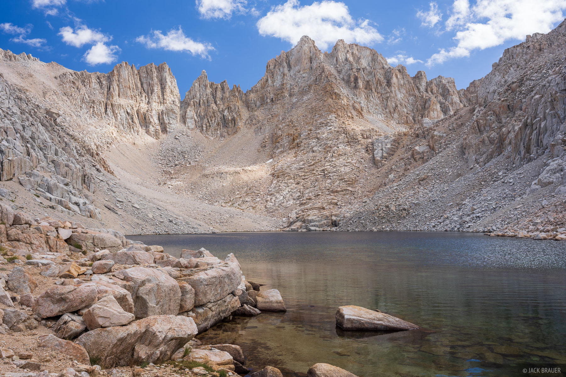
Looking towards Crabtree Pass from the upper-most lake in the Crabtree valley.
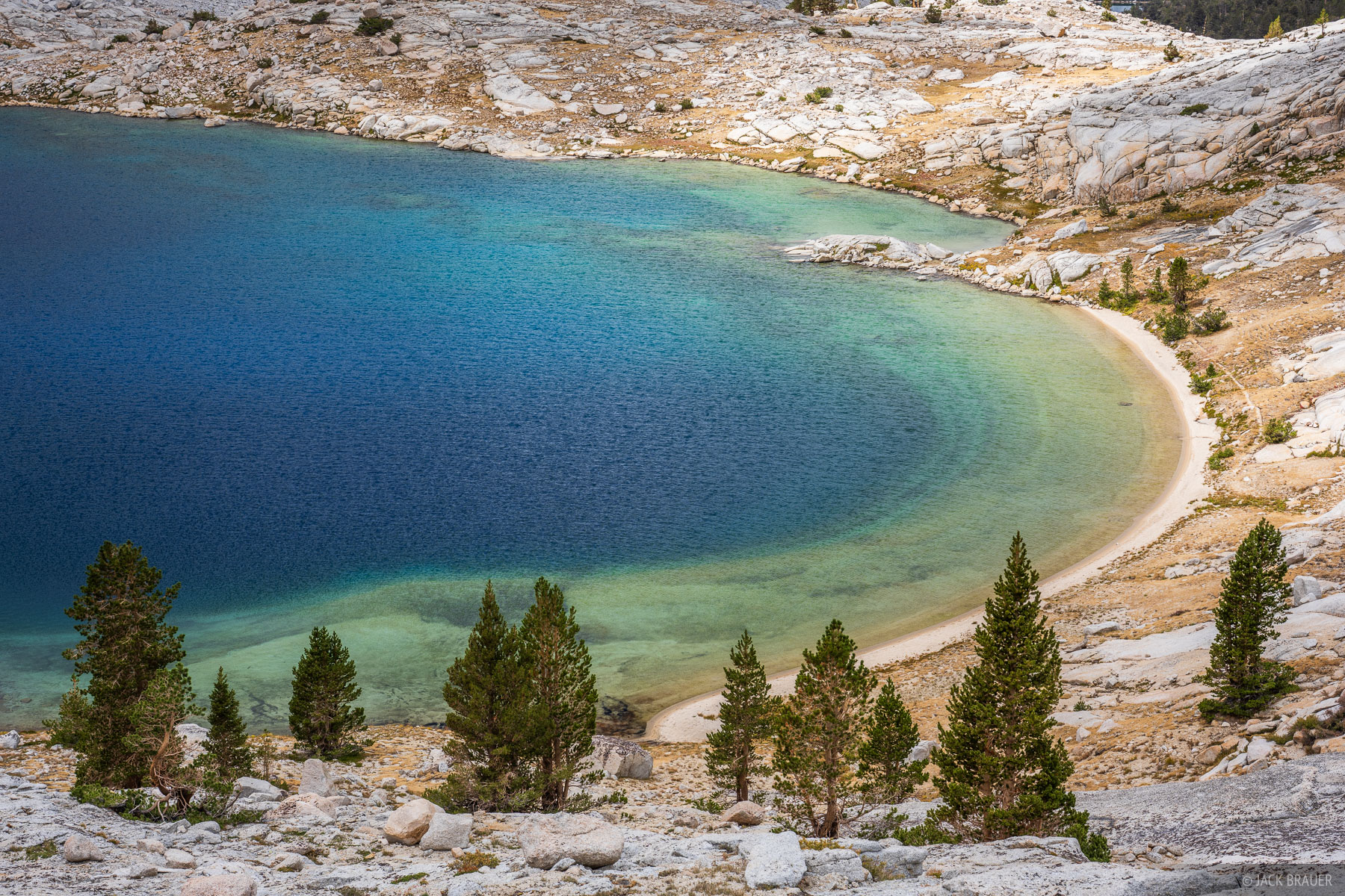
An alpine beach at Upper Crabtree Lake.
As much as I wanted to linger in both Miter Basin and the Crabtree Lakes valley, I had to keep moving to stick to my itinerary. I felt a tinge of regret to have to cruise right through all this spectacular scenery without spending more time here!
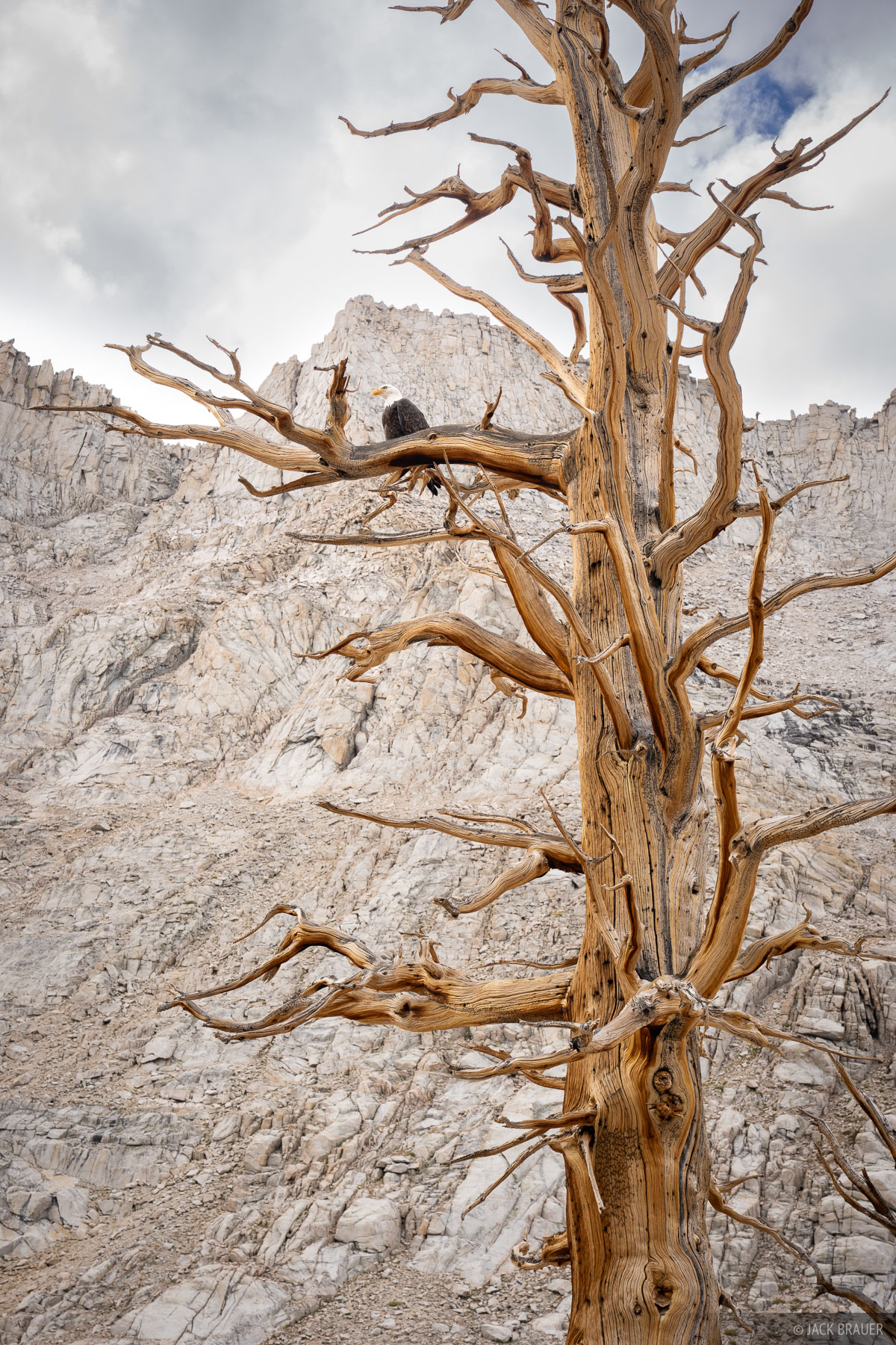
A bald eagle sits in a tree high in the eastern Sierra.
While hiking past one of the Crabtree Lakes I was surprised to see a bald eagle sitting up in a tree. It posed for the camera for a while before finally flying off.
Eventually a trail appeared again. I caught a glimpse of the hulking massif of Mount Whitney as I crossed Whitney Creek, but I had no plans to hike up there. Maybe another time.
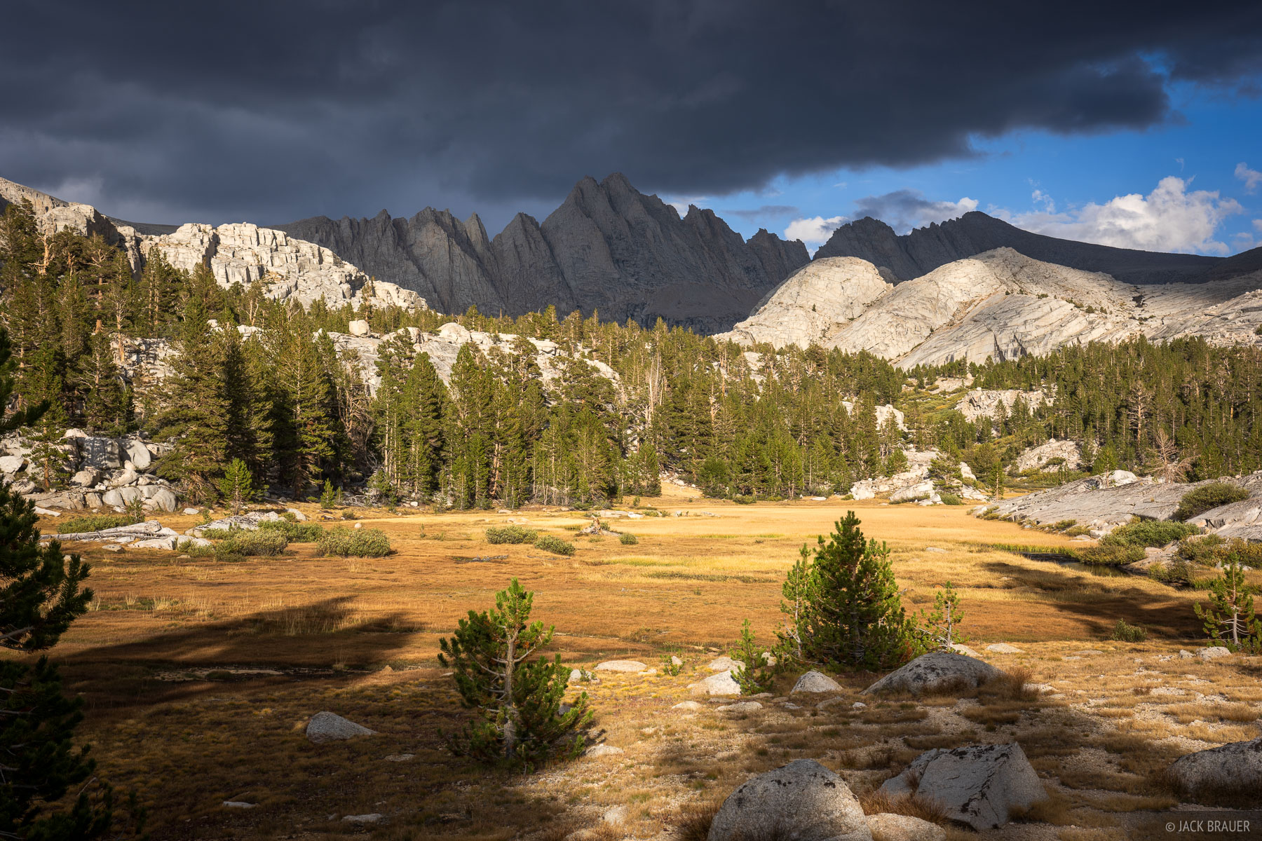
Moody light and clouds at a meadow below Mount Carl Heller (13,232 ft).
Soon I left the trail again and continued my off-trail adventure up Wallace Creek. While there is a trail marked on my map, in reality there were only occasional faint traces of trail (nowhere near where the map indicated). Sometimes it's actually more frustrating to try to follow a faint, intermittent boot trail rather than just following my own routefinding instincts. Nearing the end of a long day of off-trail hiking, I was getting mentally exhausted trying to follow the elusive trail and racing the setting sun up towards my destination. Fortunately the terrain was quite gradual and forgiving, so it didn't matter much whether I followed a trail or not.
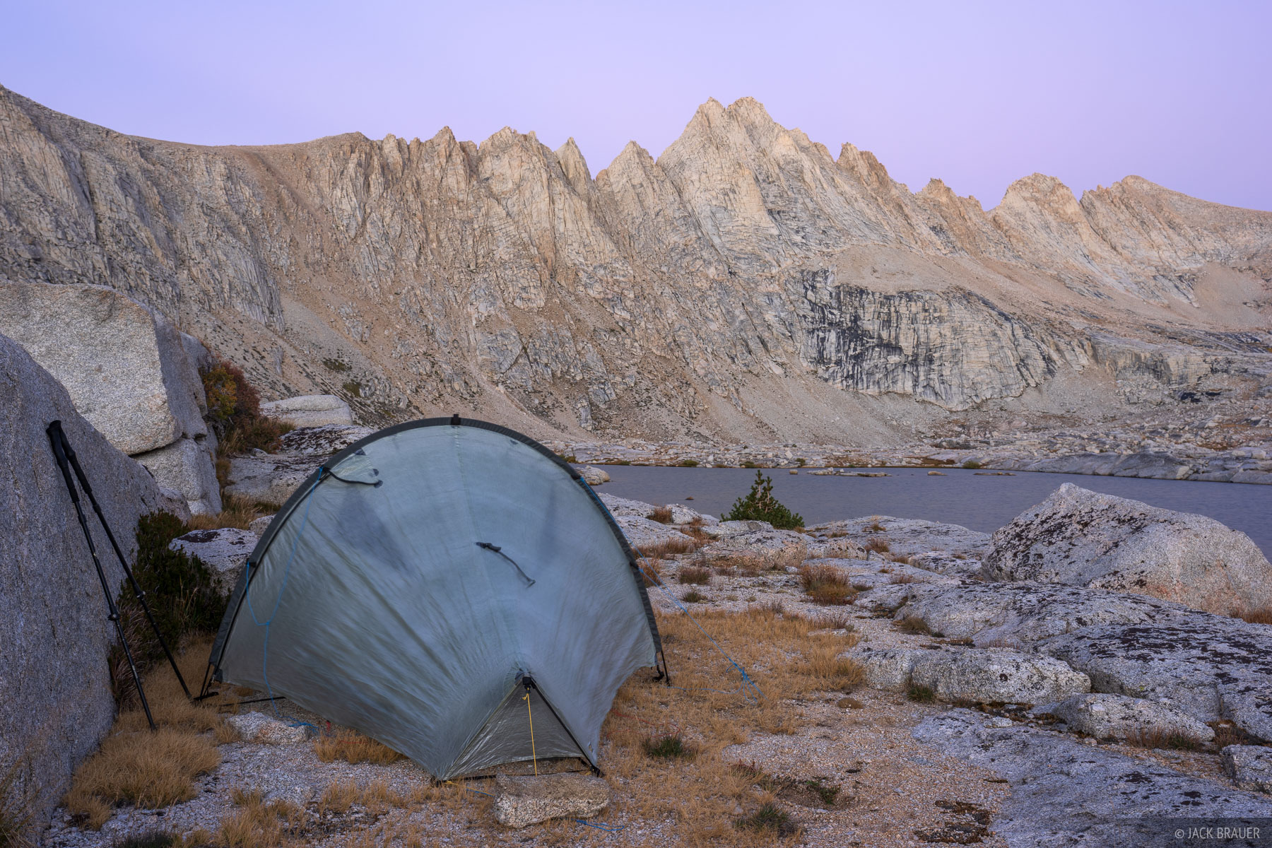
My tent at Wallace Lake below Mount Carl Heller (13,232 ft).
I finally made it to Wallace Lake about 15 minutes before sunset, and despite my exhaustion and the chilly breeze, I had no choice but to immediately get to work on my camp chores before it got dark – setting up the tent, washing up, bundling up, filtering water, and cooking dinner. Since my favorite part about backpacking is always the "chilling out in awesome places" part, it was a bit of a bummer to not have time for that here. I guess during my route planning I underestimated how long all this off-trail travel would take!
On a side note, I was very pleased with my choice to bring the semi-freestanding Tarptent Moment DW Li tent. This tent only requires two stake points, which is super convenient in the Sierra where most camp spots are either on granite rock or gravelly granite sand where stakes don't work well. Especially at the end of a long day I greatly appreciated its ease and quickness of pitching. Also, the Moment's double walls with solid interior provided much more warmth on these chilly and breezy September nights.
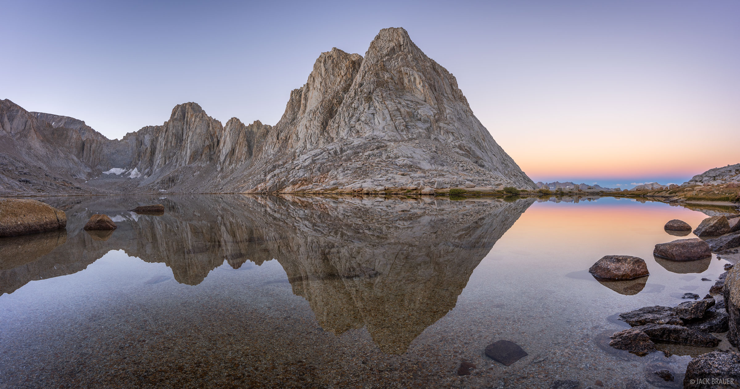
A perfect reflection of rugged peaks on a calm morning at Wales Lake.
Once again, in the morning I woke up before sunrise and started hiking in the dark up towards Wales Lake where I had high hopes of photographing a reflection of the rugged peaks there. When I arrived I was disappointed to see the lake ruffled by a steady wind, but miraculously after dawn the breeze subsided and the lake settled into a perfect mirror reflection for sunrise! The reflection hound in me was thrilled!
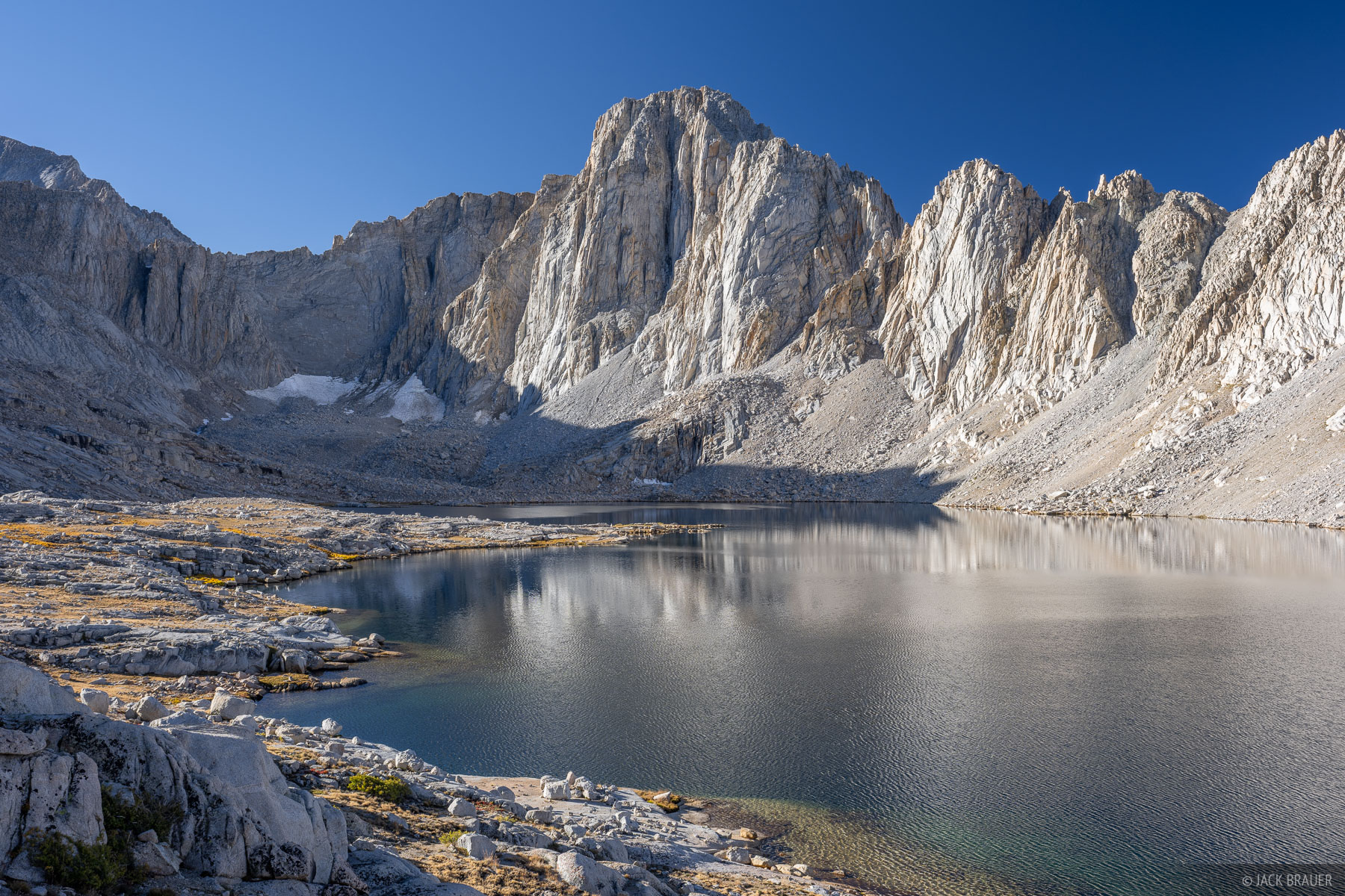
Mount Hale (13,481 ft) towers vertically over Wales Lake.
Content with my sunrise mission and photographs, I rewarded myself by finally having an extended chill-out session up at Wales Lake that morning with coffee and breakfast before heading back down to my tent at Wallace Lake.
I was looking forward to a somewhat relaxed day of hiking for Day 4, back to easy hiking on the John Muir Trail. But when I didn't find a great camp spot along the way I just kept going... and going... and going. It turned into another long day after all! I ended up hiking much further than expected, finally running out of time and stopping at a decent campsite at a high lake below Forester Pass shortly before sunset. Once again I forced myself to go through the camp chores routine even though I just wanted to lay down in exhaustion.
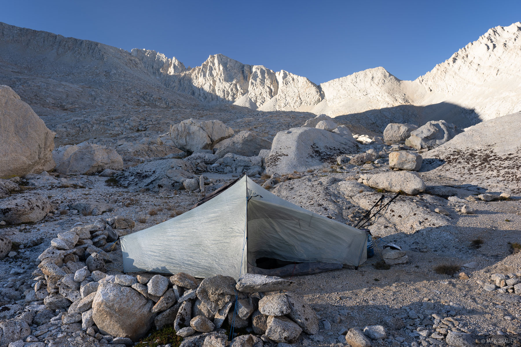
My camp at 12,200 ft in the barren basin on the south side of Forester Pass.
The whole basin south of Forester Pass (along with the vast and empty basin below Shepherd Pass) has a remarkably barren feeling to it. With little photo prospects, and knowing that the sun wouldn't rise above the mountain until 9am, I finally had an opportunity to sleep in without even setting an alarm for sunrise!
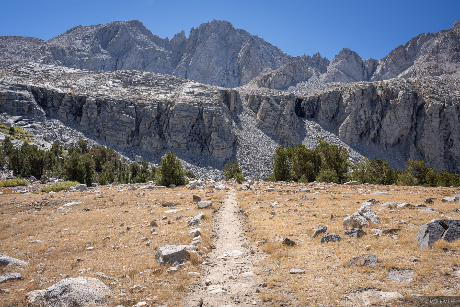
The John Muir Trail passes below a spectacular cirque north of Forester Pass.
Day 5 of hiking took me over the incredibly-engineered Forester Pass, built in the 1930's as a series of switchbacking walled ledges clinging to the sides of steep rock faces. Once I was over the pass on the north side I was back amongst glorious mountains again as I descended into the Bubbs Creek drainage and Kings Canyon National Park. From there I took my third detour of my trek, up into Center Basin, where I camped between some lovely lakes ringed by craggy peaks and ridges.
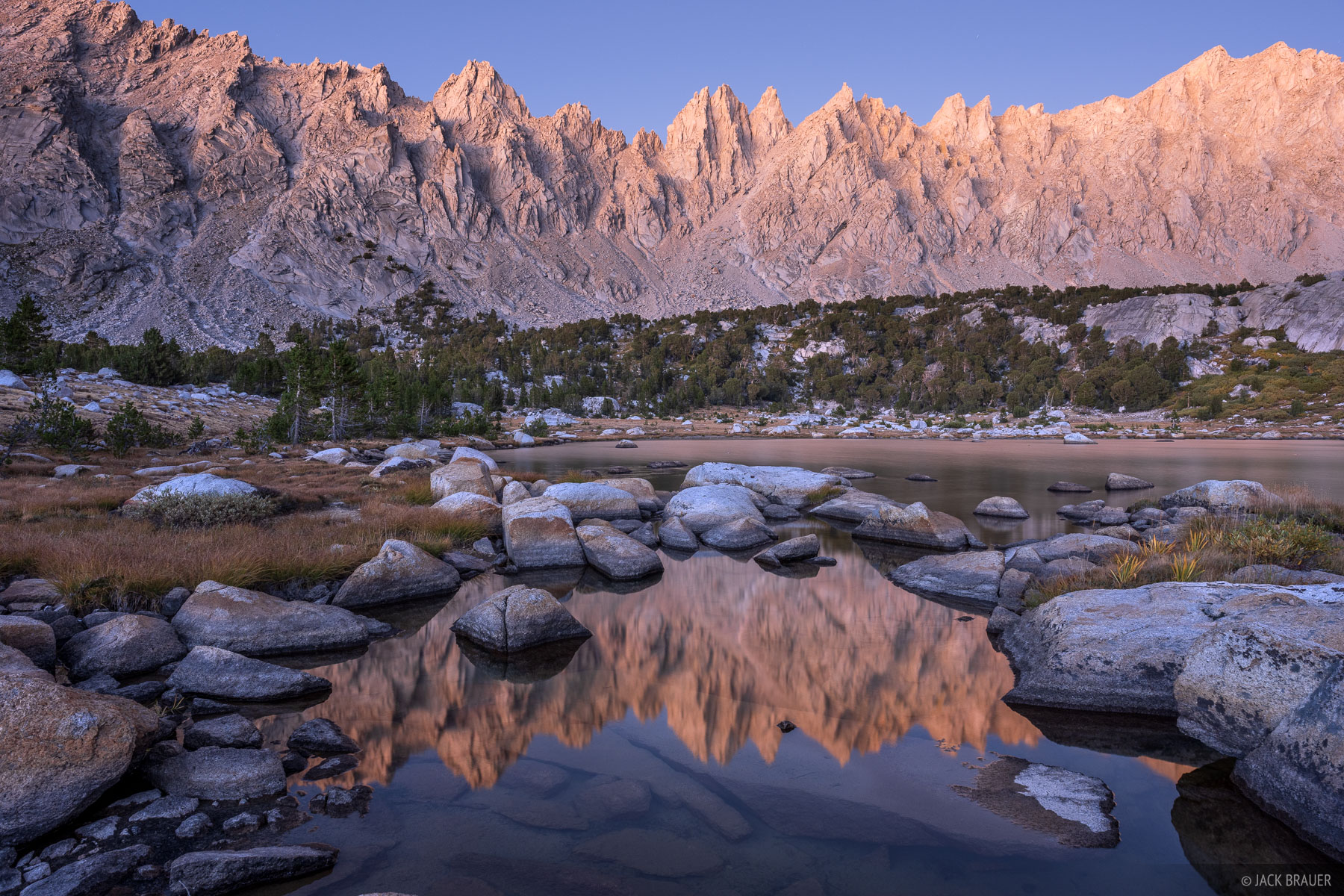
Center Basin Crags glow in the dusk light in September.
Finally having ample time to chill out again, I spent the afternoon and evening wandering around the lakes and zenning out on various granite "patios" (once again immensely grateful for the utter absence of mosquitoes in September!). As much as I savored my time here, I also felt a pang of loneliness, wishing Claudia was here to share this wonderful place with me! I guess we'll have to come back together someday.
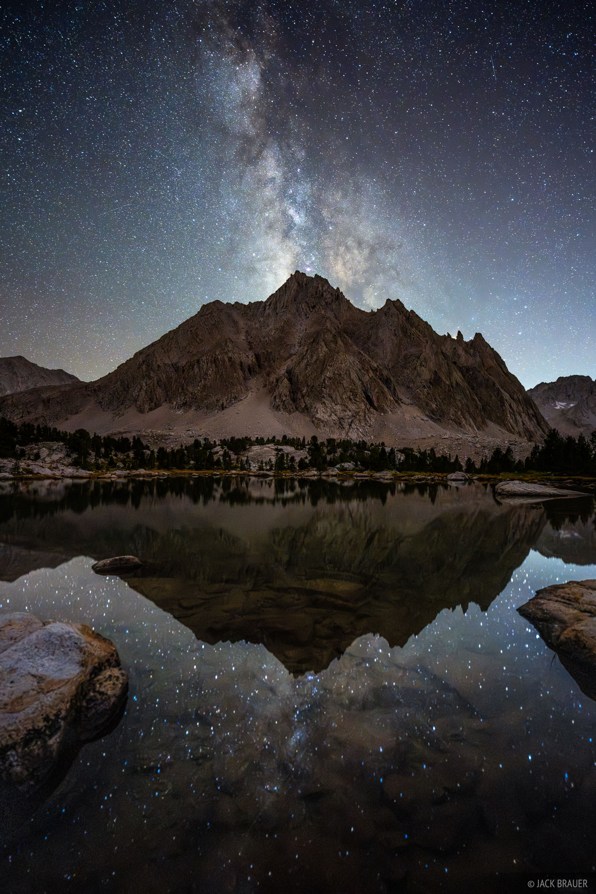
The Milky Way over Center Peak (12,730 ft).
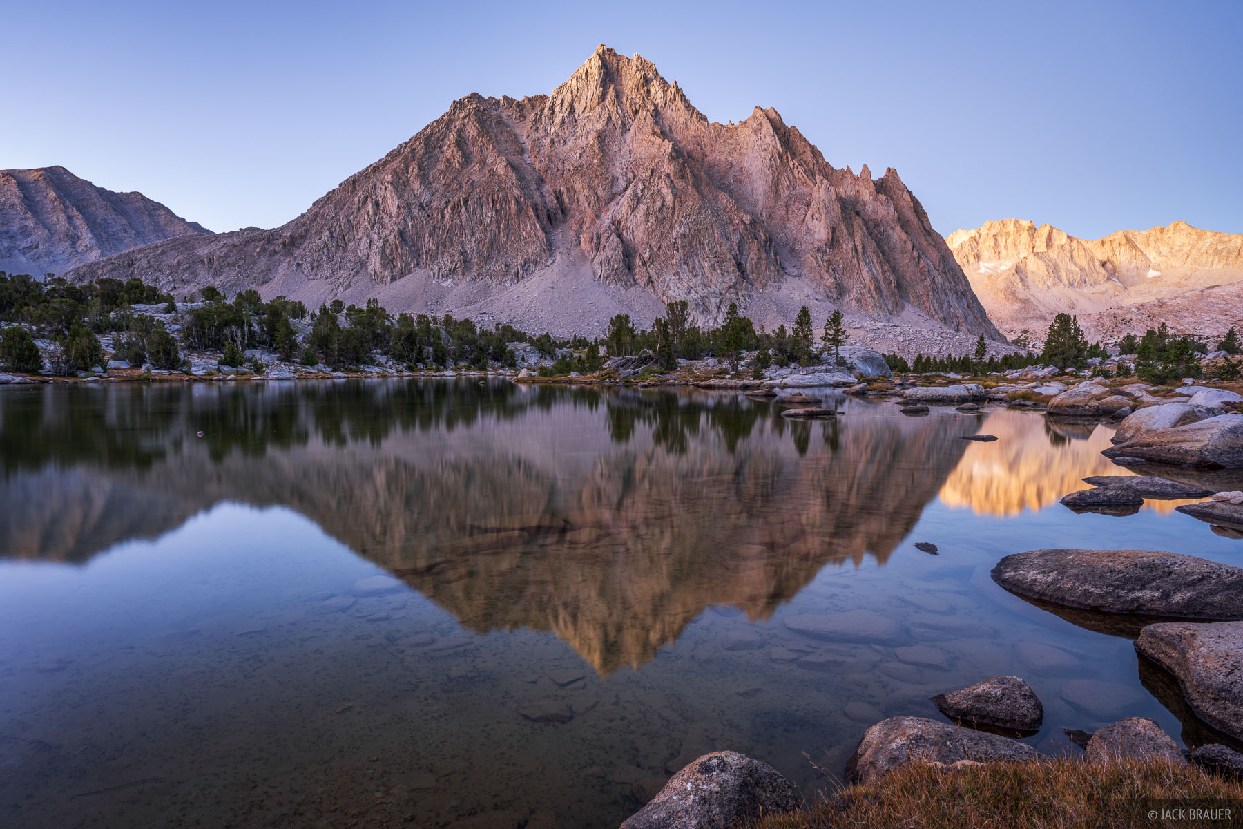
Center Peak (12,730 ft) reflects in a lake before sunrise.
In the 1870's the famous photographer Ansel Adams coined the nickname "Range of Light" for the Sierra Nevada, and when you travel through these mountains it's easy to see why. The white or light tan colored granite seems to amplify the reflected light of the rising or setting sun, much like snowy mountains do in the winter. In the Sierra, rather than the direct sunrise or sunset light, I'm actually often more attracted to photographing the dawn or dusk alpenglow about 20-30 minutes before sunrise or after sunset when the sky is darker and the peaks seem to glow from within from the soft reflected light of the horizon.
By Day 6, the harder days of hiking were behind me, my pack was lighter, and now it was just purely trail cruising to the end. I walked down Bubbs Creek then up and over Kearsarge Pass, back to the realm of day hikers in Onion Valley on the east side of the range again.
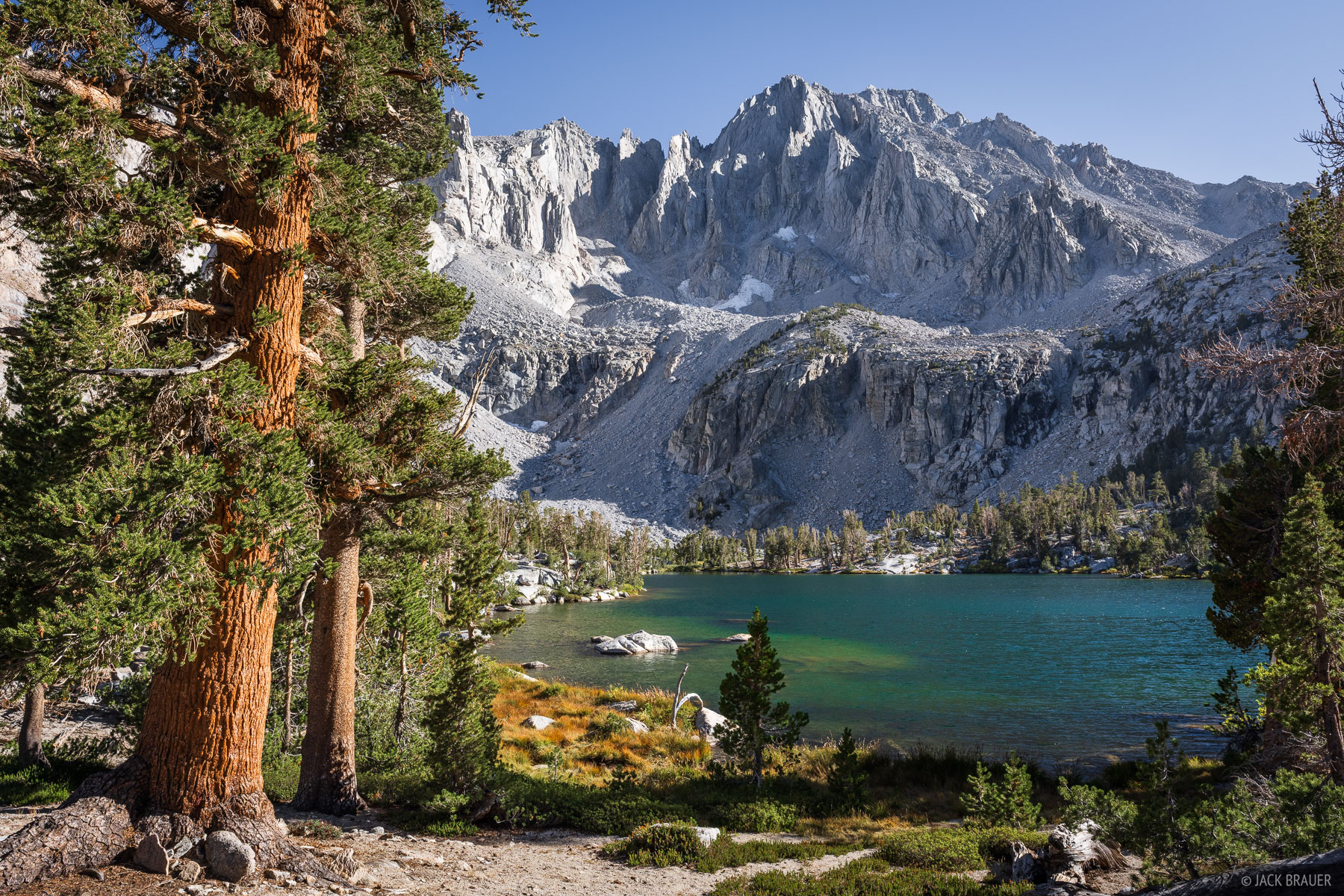
Late afternoon at Matlock Lake in Onion Valley. The impressive ramparts of University Peak (13,576 ft) tower 3,000 vertical feet above the lake.
I somewhat spontaneously decided to camp at Matlock Lake, not really knowing what to expect there. So upon arriving, I was thrilled to see what an epic scene it is with the awesome ramparts of University Peak towering above. Not too shabby for the last night of such an amazing trek!
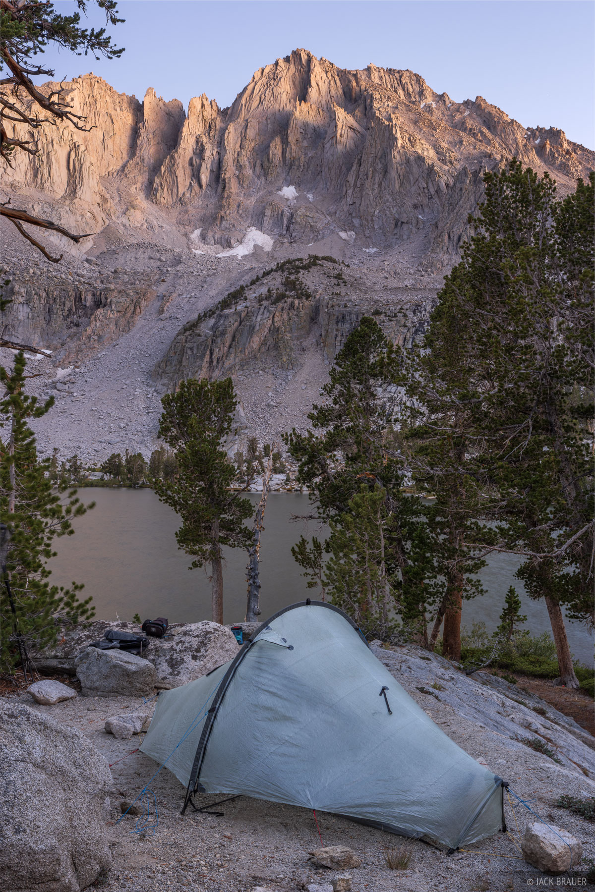
My campsite above Matlock Lake with University Peak glowing in the dusk light above.
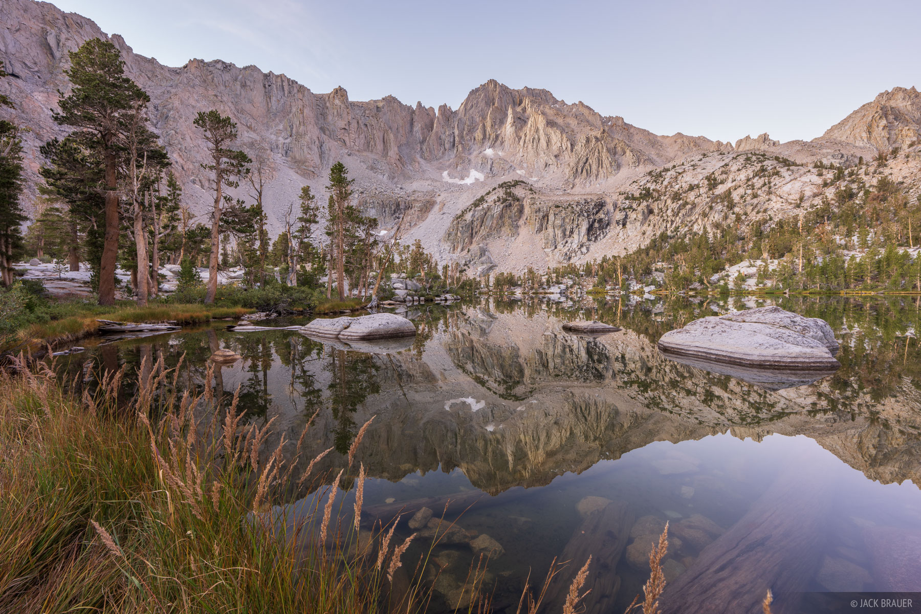
University Peak reflects in Matlock Lake at sunrise.
In the morning after sunrise I had time to kill before my afternoon shuttle ride, so I slept in longer, then lounged around for few hours soaking in the view. Finally I packed up and headed down to the Onion Valley trailhead, where I met Chuck the shuttle guy for the drive back to my truck at the Cottonwood Lakes trailhead.
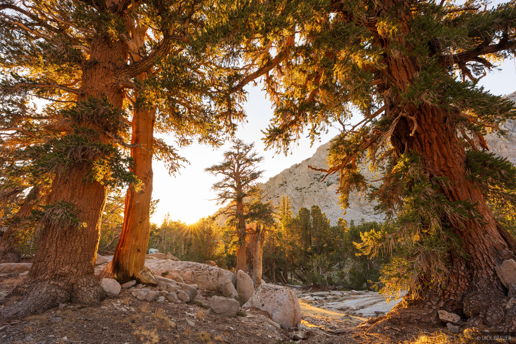
The rising sun illuminates trees in the Onion Valley.
It took a lot of driving to get to the Sierra and back, but it was totally worth it to scratch my adventure/backpacking itch and to spend a week amongst these magnificent mountains. I have many more trek ideas mapped out for future Sierra trips, and I'm already looking forward to those!